$27.95
$18.21
(SAVE Now!)
as of 12/22/2024 (Details)
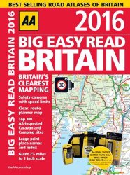
From the market leaders of UK atlases, this giant scale atlas has been updated for 2016 and includes large print place names and a helpful index This A3 format atlas provides giant scale mapping (2.5 miles to one inch) and type throughout. The guide features the top 300 AA-inspected caravan and camping sites, over 220 service areas, updated speed cameras with speed limits, and fully updated mapping. This A3 format atlas provides giant scale mapping and type throughout. It is available in two binding styles, paperback and spiral bound. Each page has been titled with its geographical location so you can turn to the page you need more easily. Static speed camera locations with speed limits are pinpointed and wide minor roads (more than and less than 4m wide) are indicated. National Trust, English, and World Heritage sites, crematorium locations, and other hard-to-find places are also shown. There are 72 city, town, and port plans including central London and a full-color admin map showing all the latest unitary authority areas. Plus, scenic routes and tourist sites with satnav friendly post codes. The paper in this atlas is produced from environmentally sustainable resources.
Technical Details
No features available.