In this completely updated and revised edition of Designing with the Mind in Mind, Jeff Johnson provides you with just enough background in perceptual and cognitive psychology that user interface (UI) design guidelines make intuitive sense rather than being just a list or rules to follow. Early UI practitioners were trained in cognitive psychology, and developed UI …
graphics
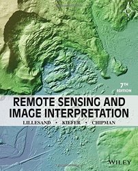
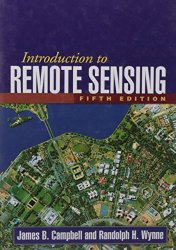
Remote sensing and its kindred technologies, such as geographic information systems (GIS) and the Global Positioning System (GPS), are having a pervasive impact on the conduct of sciences, government, and business alike. This book is designed to be primarily used in two ways: as a textbook in the introductory courses in remote sensing and image interpretation, and as …
The Sketchnote Handbook: the illustrated guide to visual note taking
This gorgeous, fully illustrated handbook tells the story of sketchnotes–why and how you can use them to capture your thinking visually, remember key information more clearly, and share what you’ve captured with others. Author Mike Rohde shows you how to incorporate sketchnoting techniques into your note-taking process–regardless of your artistic abilities–to help you better process the information that …
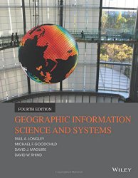
Effective use of today’s vast geographic information (GI) resources requires more than just powerful technology for problem solving. It requires science to help us understand the way the world works, and to help us devise effective procedures for making decisions. Three previous editions have established this text as a defining multidisciplinary treatment of the scientific principles that underpin …
Far more “user friendly” than the vast majority of similar books, this volume is truly written with the unsophisticated reader in mind. The pace is leisurely, but the authors are rigorous and maintain a serious attitude towards theorem proving throughout. Emphasizes “Active Reading” throughout, a skill vital to success in learning how to …
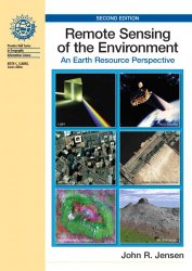
Remote Sensing of the Environment: An Earth Resource Perspective (2nd Edition)
This popular book introduces the fundamentals of remote sensing from an earth resource (versus engineering) perspective. The author emphasizes the use of remote sensing data for useful spatial biophysical or socio-economic information that can be used to make decisions. Provides two new chapters on LIDAR Remote Sensing (Ch. 10) and In situ Spectral …
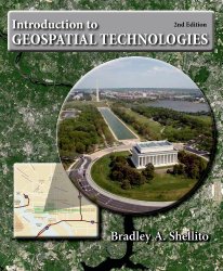
Combining both theoretical coverage and hands-on lab work, and accessible to majors and non-majors alike, Bradley Shellito’s Introduction to Geospatial Technologies has become a new favorite for the digital Earth course. The new edition reflects the latest developments in the field, including how scientists are using GIS data with cloud technology. With lab activities that utilize both widely …
A leading text for undergraduate- and graduate-level courses, this book introduces widely used forms of remote sensing imagery and their applications in plant sciences, hydrology, earth sciences, and land use analysis. The text provides comprehensive coverage of principal topics and serves as a framework for organizing the vast amount of remote sensing information available on the Web. Including …
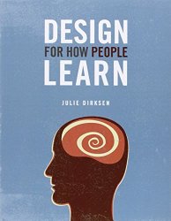
Products, technologies, and workplaces change so quickly today that everyone is continually learning. Many of us are also teaching, even when it’s not in our job descriptions. Whether it’s giving a presentation, writing documentation, or creating a website or blog, we need and want to share our knowledge with other people. But if you’ve ever fallen asleep over …
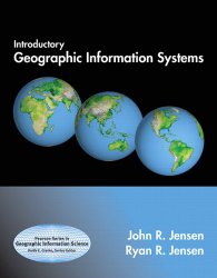
Introductory Geographic Information Systems (Prentice Hall Series in Geographic Information Science)
Geospatial technologies in general – and Geographic Information Systems (GIS) in particular – are becoming increasingly important in our society. GIS technology is used to identify the optimal routes for emergency vehicles, to determine the best locations for various businesses, schools, and facilities, to monitor the growth and expansion of urban areas as a way to manage natural …

